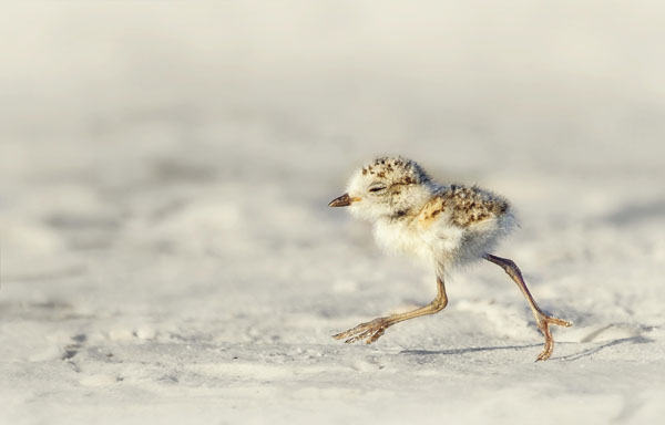
 Habitat
Nearly all of the Village’s natural areas containing environmentally-sensitive vegetative communities are located along the shorelines. Other important natural areas in the Village include aquatic habitats of coral reefs, seagrass beds and natural hard-bottom. The tropical hardwood hammocks in the Village are rich in diversity, with approximately 100 species only found in this Florida Keys habitat type.
Two wetland types occur in Islamorada:
- Mangrove wetlands consist of salt-tolerant plants that provide habitat and a food source to a wide range of aquatic species.
- Saltmarsh and buttonwood wetlands are tidally influenced transitional wetlands found landward of the mangrove fringe but seaward of the upland community.
Islamorada is also home to a diverse marine ecosystem that includes some of the world’s most extensive seagrass beds and part of the only coral reef tract in the continental United States. Aside from providing habitat and feeding grounds for thousands of marine species, the coral reefs surrounding Islamorada reduce wave impacts during storm events while the seagrass beds serve to stabilize the coastal floor and reduce wave impacts that potentially cause shoreline erosion.
Parks and Recreation
Village recreational areas include pocket parks, neighborhood parks, community parks, special facilities, district parks, regional parks, and natural reservations. Islamorada is known for its abundant recreational areas and quantity of open space. There are ten (10) parks encompassing 105 acres that are owned and maintained by the Village, including:
- Plantation Tropical Preserve
- Plantation Hammock Preserve
- Founders Park
- Southwinds Park
- Hurricane Monument
- Library Beach Park
- Green Turtle Hammock Park
- Key Tree Cactus Property
- Sea Oats Beach
- Anne’s Beach
These parks provide swimming areas, play areas, picnic areas, beaches, boardwalks, athletic courts, boat ramps, marinas, dog parks, and recreational buildings. The Windley Key State Geological Site also includes 28.9 acres of fossil reef. Additionally, there are three (3) FDOT owned and maintained roadside recreational areas, including Upper Matecumbe Key, Indian Key Boat Ramp, and Channel Key Catwalk. Lastly, there are also approximately 34 miles of paved bike lanes and 10.8 miles of pedestrian and bicycle pathways within the Village.
Habitat Mitigation Techniques
Many of the ecosystems in and surrounding Islamorada help mitigate damage from storms and rising sea levels. For example, coastal marshes and mangrove forests can help dissipate storm surge impacts and slow down coastal erosion. Additionally, coral reefs can help reduce more than 85% of the wave energy along the coast, substantially protecting coastal communities from erosion and storm surges.
Hard and soft protection methods can also be used as mitigation techniques:
- “Hard” coastal protection is a broad term for most engineered features such as seawalls, revetments, cave fills, and bulkheads that block the landward retreat of the shoreline. Although seawalls and shoreline hardening are generally not favored where more natural shorelines exist, they remain central to the discussion of sea level rise adaptation.
- “Soft” coastal protection methods replenish, enhance, or mimic natural buffers, and they include beach nourishment, living shorelines, or wetlands. Living shorelines are an approach to stabilize shoreline areas while maintaining habitat and natural shoreline processes. These shorelines are designed with plants, sand, and limited amounts of rock to restore and enhance coastal habitats, promote sedimentation, and protect against shoreline erosion.
Ecosystem Migration
While some types of ecosystems have a capacity to adapt to sea level rise, the key to that adaptation is the ability to migrate to higher elevations. Options for this migration are likely constrained where adjacent areas have been intensively developed. Therefore, improved buffering strategies are those that will allow for the natural features of lands to migrate where possible.
As a baseline, the Village may consider a more in-depth analysis of its wetlands including:
- identification of uplands for preservation and acquisition to provide areas for shoreline migration;
- prevention of the construction of structures that would act as barriers to migration;
- identification of wetland restoration techniques to allow wetlands to keep pace with sea level rise;
- cataloging of pertinent research needs;
- and identification of further policy and regulatory changes.
